Since last summer, the engineers tasked with the San Onofre Shoreline Resilience Project have been deep in the “head down” phase of the work. They’ve been reviewing decades of coastal records and analyzing data to characterize the shoreline morphology and form the technical foundation needed to explore potential nature-based solutions to protect both the coastline and public access.
Last week, that work took an exciting step by land — we officially have boots on the ground at San Onofre State Beach!


Left, State Parks employee records waves breaking against the road at high tide; Right, ESA surveyor takes shoreline measurements
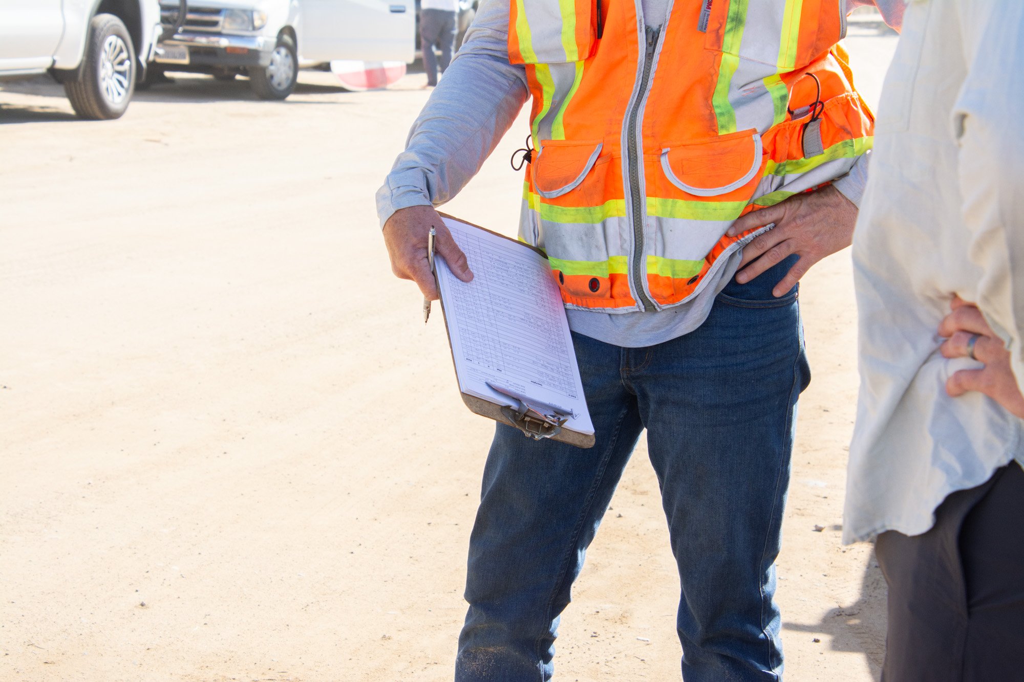
Survey teams were out at San O during the 6.7 ft high tide, as well as the impressive -1.4 low, to measure and observe existing shoreline characteristics — essentially capturing key features, slopes and elevations, and shore-perpendicular transects of the current shoreline as it exists today. At the same time, a survey plane collected imagery from above, which will allow the team to create a survey-grade basemap with high resolution aerial imagery and topographic surface.
Why does this matter?
Together, these datasets form the base map and foundation for the entire project. This is the existing snapshot of Surf Beach from which future shoreline stabilization concepts will be developed, evaluated, and designed — informing the engineer’s modeling of how different approaches might perform under changing tides, storms, swell conditions, and sea level rise.

Visitors watch as tide and swell deliver blows to the beach scarp
In short: good data leads to better, more sound solutions.
This phase is a critical milestone, and it keeps us on track with the timeline we’ve shared previously with the community. As the engineering team continues to process and analyze what they’ve gathered, we’re also looking ahead to the next chapter of public engagement.
This spring, we anticipate having enough information to share preliminary findings — and, just as important, we’ll have questions for you! The next public meeting will focus on what we’re learning so far, which resilience options or pathways are emerging, and how your thoughts, experience, and values can continue to shape the project's direction.
Dates and details for that meeting will be announced soon. In the meantime, we’re grateful to everyone who has stayed engaged and curious as this work moves from a computer screen to the sandy beach itself.

This team gets the point
How to Stay Updated
If you would like to stay informed and receive updates regarding the San Onofre Shoreline Resilience Project and the state of the beach, simply sign up below.
 As Surfrider's Coastal Preservation Manager, Alex (she/her) focuses on coastal resiliency projects centered around nature-based solutions. She has worked on the ocean as a naturalist and passionately seeks to connect new folks with the sea by linking core memories on the water with education about the impact of marine preservation.